

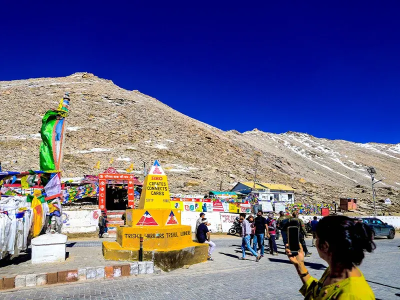
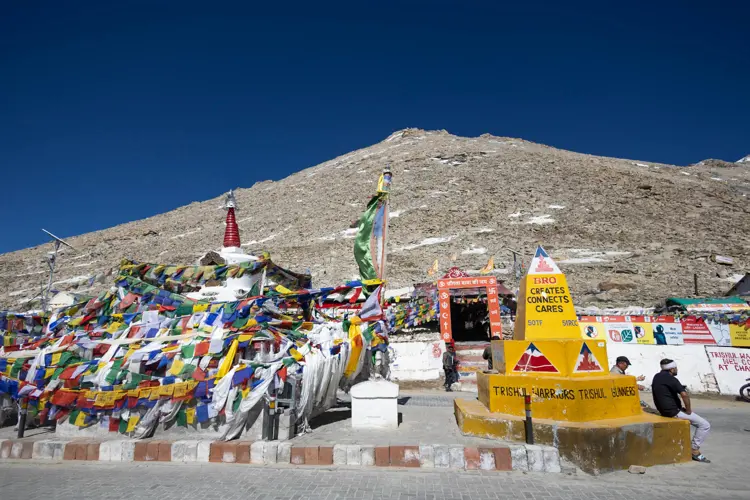
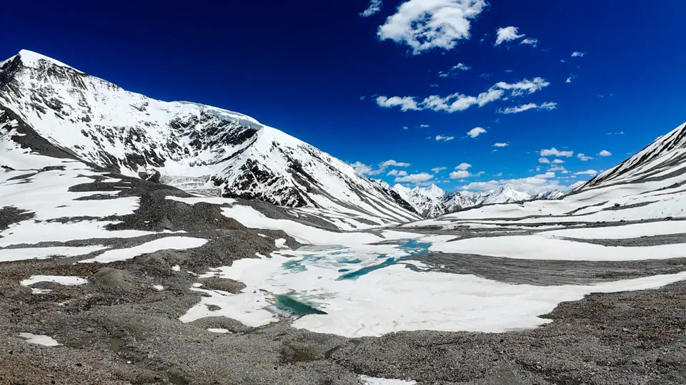
Chang La, meaning “Pass of the South” in Tibetan, stands at an altitude of 17,586 feet, making it one of the highest motorable roads in the world. Located between Leh and Pangong Lake, it has served as a key connection point for centuries—used by traders, monks, and now tourists.
Historically, the region was frequented by Tibetan merchants who passed through on their way to Nubra and other valleys. The Indian Army has played a vital role in maintaining this high-altitude road, as it holds strateg ...

 1.jpg)
 4.jpg)

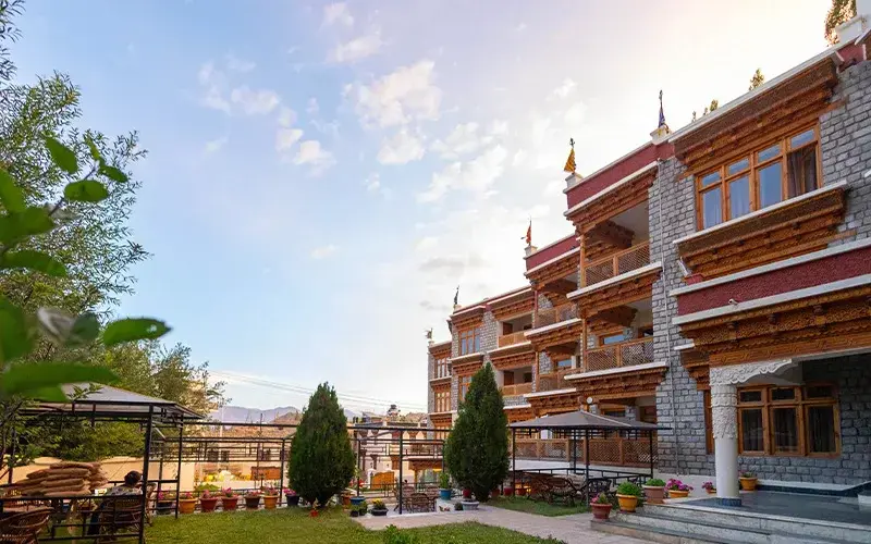
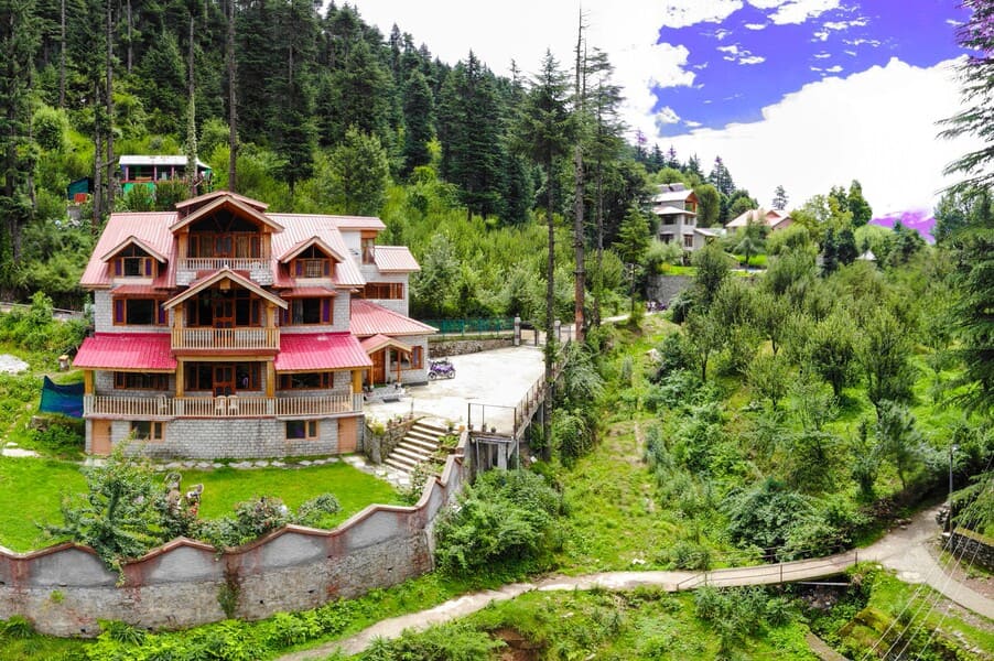
Hotels In Leh Ladakh
Experience peaceful stays amid mountains, lakes, and clear skies.
Packages Of Leh Ladakh
Experience Ladakh’s mountains, lakes and culture with our curated packages.
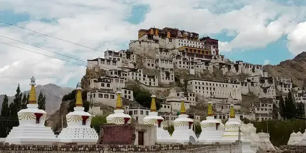
Places To Visit In Leh Ladakh
Best Places to Visit in Leh Ladakh for an Unforgettable Trip
.webp)
Blogs Leh Ladakh
High-altitude adventures and serene Tibetan-style landscapes
.webp)
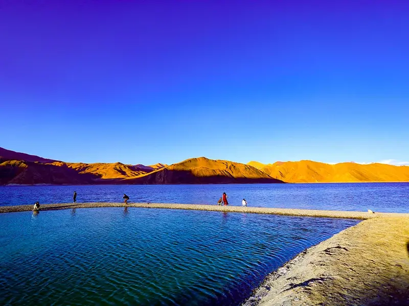
Images Of Leh Ladakh
Explore Ladakh’s raw beauty through real and scenic images.
Hotels In Leh Ladakh
Packages Of Leh Ladakh
Places To Visit In Leh Ladakh
Blogs Leh Ladakh
Images Of Leh Ladakh
Heavy Thermals and Windproof Jackets
The weather here can drop below freezing even in summer. Dress in layers, and always keep an extra woollen layer handy.
Good Gloves & Cap
Gloves are essential to avoid frozen fingers. A good woollen cap helps maintain body heat at high altitudes.
Acclimatize in Leh First
You must stay 1–2 days in Leh before crossing Chang La. Direct ascent can cause AMS and severe fatigue.
Keep AMS Meds Handy
Carry Diamox, water, and oxygen spray. If you feel dizzy or breathless, descend immediately to a lower point like Durbuk.
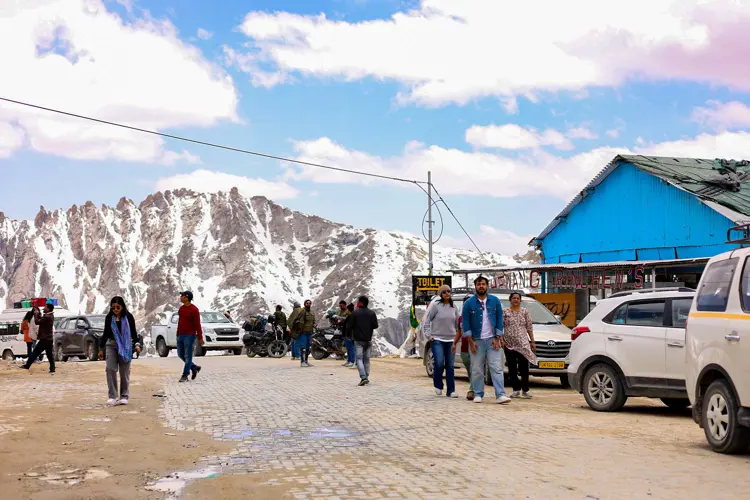
Quick Photo Stop
Capture snow-covered mountains, prayer flags, and milestone signs—“Welcome to Chang La – Third Highest Pass.”
Visit Chang La Baba Temple
Offer a quick prayer at the small white shrine. It’s simple, peaceful, and respected by travelers and army alike.
Experience the Chill
Step out and feel what -5°C in sunlight feels like! It’s bone-chilling but thrilling.
Tea Stall by Army (If Open)
Sometimes, there’s a free tea stall run by army personnel. Warm and heart-melting—literally.
Eat Before or After
Nearest food points are in Sakti or Tangtse. Carry chocolates, biscuits, or warm soup in a flask if possible.
Visit 🌤️ May to October is best with open roads and manageable snow.
Chang La, meaning “Pass of the South” in Tibetan, stands at an altitude of 17,586 feet, making it one of the highest motorable roads in the world. Located between Leh and Pangong Lake, it has served as a key connection point for centuries—used by traders, monks, and now tourists.
Historically, the region was frequented by Tibetan merchants who passed through on their way to Nubra and other valleys. The Indian Army has played a vital role in maintaining this high-altitude road, as it holds strategic importance near the Indo-China border.
In recent decades, the BRO (Border Roads Organisation) has made Chang La more accessible, despite extreme snowfall and rugged terrain. A small Chang La Baba temple near the top is revered by soldiers and travelers, believed to protect passersby from harsh weather.
Today, Chang La isn’t just a checkpoint—it’s a symbol of endurance, reminding travelers of nature’s might and the silent service of those who maintain these roads in freezing silence.
One of the Highest Passes
Standing at 17,586 ft, Chang La is among the top three highest motorable roads in the world, with freezing temperatures even in summer.
Army-Maintained Base
The Indian Army has a base at Chang La and maintains roads, provides emergency help, and ensures safety in this remote region.
Temple of Chang La Baba
Built by army personnel, this small shrine is visited by almost every passerby for blessings and protection during the tough journey.
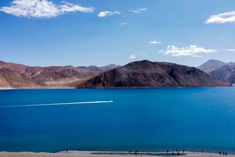
Gateway to Pangong Lake
Most Pangong Lake journeys go through Chang La, making it an essential stop with panoramic Himalayan views.
Breathable but Brief Stops
Due to altitude, visitors are advised to stop for only 10–15 minutes to avoid AMS (Acute Mountain Sickness).
The Rescued Biker
In 2019, a solo biker from Pune got stuck near Chang La due to snow and a broken clutch. With temperatures plummeting and no signal, he waved for help for over 30 minutes until an army truck spotted him. Soldiers not only repaired his bike but also gave him tea, oxygen, and warmth in their camp. The biker later shared his heartfelt gratitude online, calling it the “Chang La Miracle,” which went viral and highlighted the unseen role of army support in remote zones.
Chang La Baba’s Blessing
A couple visiting Chang La in 2017 lit incense at the small temple and tied a prayer flag before heading to Pangong. On return, they narrowly missed a landslide by just 5 minutes. Locals told them that many believe Chang La Baba protects those who show respect. The experience left them shaken but grateful, and they say it turned a trip into a moment of faith.
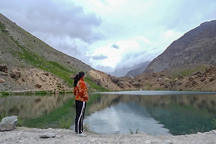
The Himalayan Mountains are a majestic mountain range in South Asia, spanning five countries. They boast the world's highest peaks, including Mount Everest. These young, growing mountains feature rugged, snow-capped peaks, deep valleys, and glaciers. The Himalayas influence regional climate, harbor unique biodiversity, and hold cultural and spiritual significance. They attract adventurers, nature lovers, and spiritual seekers from around the world.

.webp)
.webp)
.webp)
.webp)
.webp)